
2026 Summer Intern Field Trip

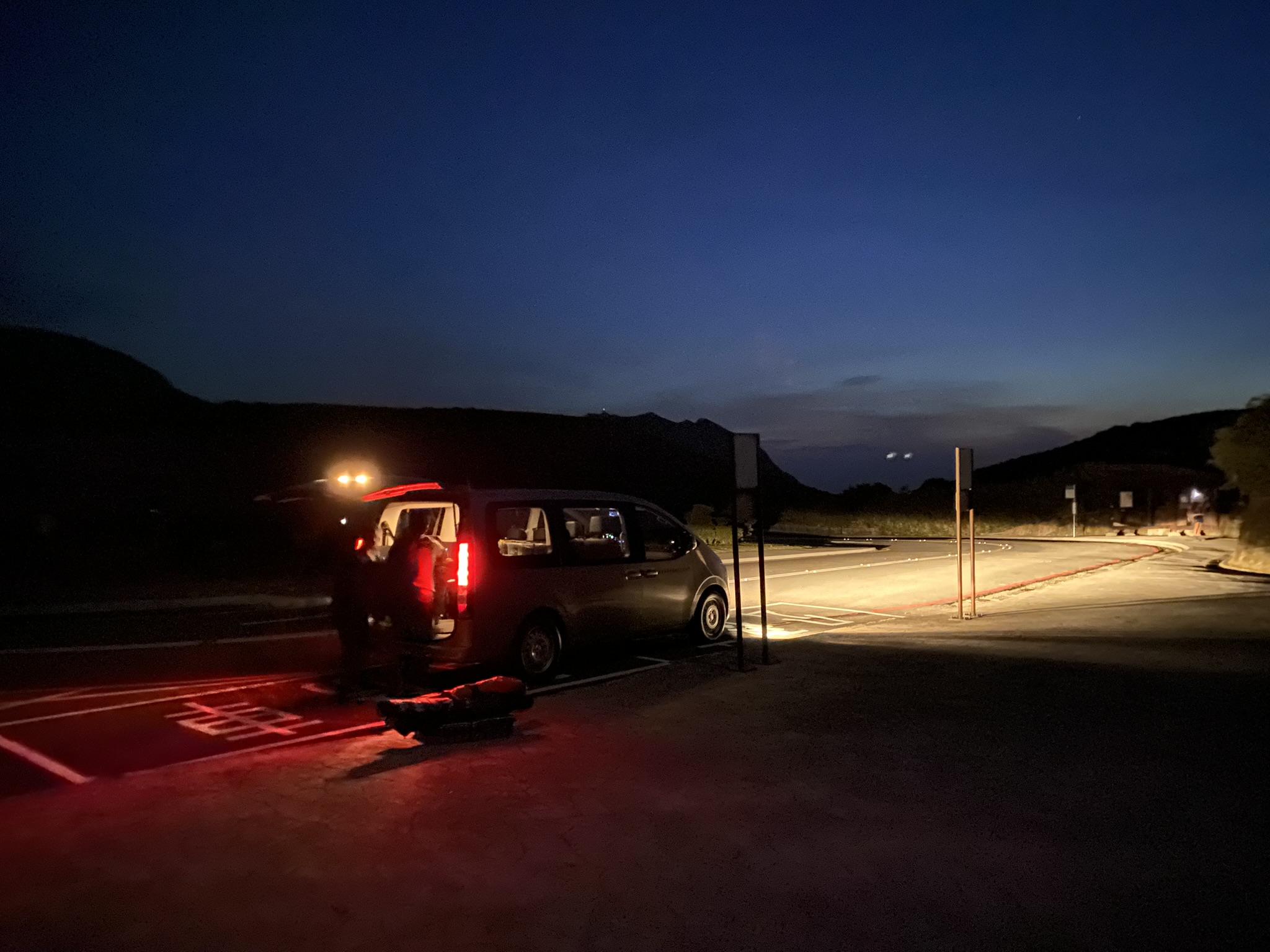
On August 5, 2026, our research group conducted a field trip to examine Miocene and Oligocene rocks in the Hsintien Geological Map area as part of our summer intern research program. With beautiful weather, we visited several outcrops to observe rock formations, geomorphology, and geological structures. The trip provided interns with valuable hands-on experience in field geology and a deeper understanding of the region's geological structures and evolution.
Improving Geologic Maps with LiDAR DEM: Yuli Coastal Range (2021)

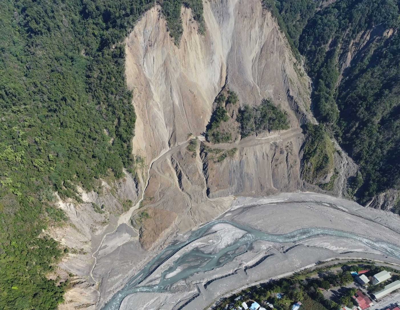
Using high-resolution DEM derived from LiDAR in Taiwan's Coastal Range, this study overcame challenges in geologic mapping caused by dense vegetation and steep terrain. The mapping method successfully identified features in both igneous and sedimentary rock, revealing new structures like shear zones, faults, and monoclines. The results, including a 1:50000 geologic map and profiles, showcase the potential of this approach for geological studies and engineering applications.