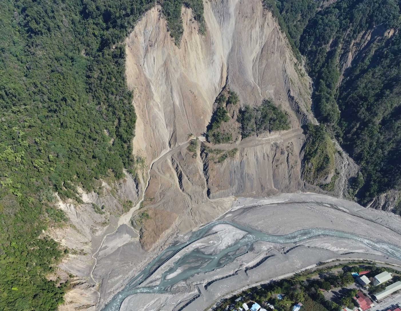
This study focuses on detecting and monitoring slow-moving landslides in Taiwan using a sophisticated radar technique. Identifying over 2500 pre-existing landslides is crucial for assessing their activity, especially before typhoon seasons. The proposed method, "multi-snap2stamps," effectively analyzes nine slow-moving landslides, revealing seasonal patterns in two sites and accelerated movement in one. The study showcases the potential of the method for large-scale landslide detection and monitoring.
We investigate a slow-moving landslide in southern Taiwan using satellite radar data. By applying a technique called Persistent Scatterer Interferometry (PSI), we can detect very small ground movements over time with millimeter-level precision. Using five years of satellite observations (2018–2023), we find that the slope is moving slowly—only a few millimeters per year in both horizontal and vertical directions. We confirm these results with field measurements. Our study shows that combining satellite monitoring with open-source tools provides an effective and low-cost way to track landslides, helping improve hazard assessment and early warning in mountainous areas.