Tracking Slow Landslide Movements with Optimized MTInSAR Workflow (2023)

This study focuses on detecting and monitoring slow-moving landslides in Taiwan using a sophisticated radar technique. Identifying over 2500 pre-existing landslides is crucial for assessing their activity, especially before typhoon seasons. The proposed method, "multi-snap2stamps," effectively analyzes nine slow-moving landslides, revealing seasonal patterns in two sites and accelerated movement in one. The study showcases the potential of the method for large-scale landslide detection and monitoring. 
Seasonal Surface Fluctuation of a Slow-moving Landslide on the Huafan University Campus (2021) 

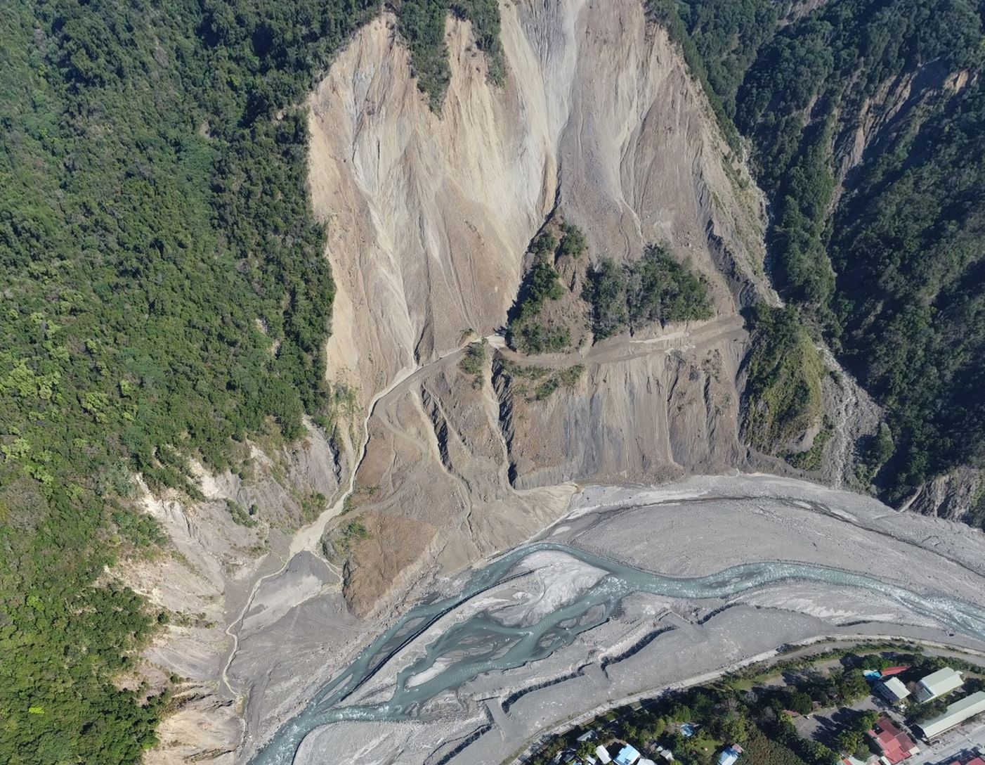
A long-term landslide on the Huafan University campus in Taiwan, observed since 1990, lacks reliable monitoring data post-2018 due to equipment maintenance issues. This study employs multitemporal interferometry (MTI) using Sentinel-1 SAR images from 2014–2019 to monitor the landslide. MTI reveals consistent slow-moving areas with previous studies, indicating gravity-induced deformation and seasonal surface fluctuations linked to precipitation. This technique compensates for the lack of data and aids in evaluating and monitoring landslides for potential early warnings.