UAV: RiCOPTER (2019)
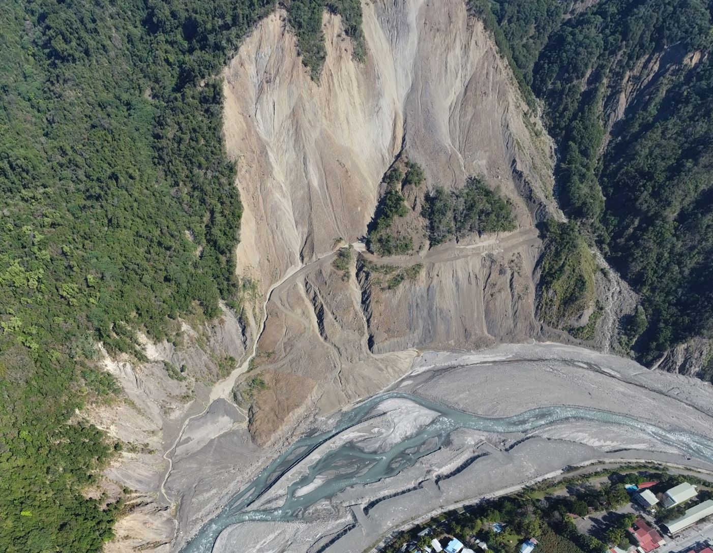
The SRLab is equiped with the RIEGL RiCOPTER, a professional unmanned aerial vehicle (UAV), or drone, designed for high-precision mapping and surveying. Equipped with a LiDAR (Light Detection and Ranging) sensor, it measures the Earth's surface by emitting hundreds of thousands of laser pulses every second and recording the time it takes for each pulse to return. Combined with accurate GPS positioning and motion sensors, these measurements produce detailed three-dimensional (3D) maps of the landscape. Unlike traditional aerial photography, LiDAR can detect the ground through gaps in vegetation, making it especially valuable for mapping forests and mountainous regions. Today, UAV LiDAR is widely used to monitor landslides, map earthquake faults, survey river channels, measure forest structure, inspect infrastructure, and support environmental research. Its speed, accuracy, and high spatial resolution make it an essential tool for understanding and managing our changing environment.